


Our Main Office
Construction Equipment Guide
470 Maryland Drive
Fort Washington, PA 19034
800-523-2200
Wed August 27, 2003 - Northeast Edition
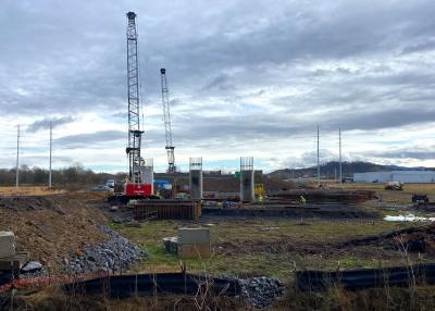
NEW STANTON, PA (AP) A mine where nine men were trapped underground for three days last summer flooded because there was no map detailing the full extent of previous mining done in an inundated, long-abandoned mine adjacent to the Quecreek operation, federal investigators found.
The Mine Safety and Health Administration also said Tuesday, Aug. 12, that more could have been done to prevent the flooding of the Quecreek Mine.
The maps that were available led miners to believe the flooded mine was hundreds of feet away when they breached it last July 24, releasing millions of gallons of water that trapped them inside.
The federal report suggested that since no certified map of that adjacent mine — last mined in the early 1960s — was available, the operators, owners and engineers for the Quecreek Mine could have taken other steps, like drilling test holes, to determine how close the old mine was to the new one when it was opening in the late 1990s.
Operators also could have consulted production records from the older mine and concluded the maps on hand were incomplete, said Dave Lauriski, assistant U.S. secretary of labor for Mine Safety and Health.
Lauriski said because inaccurate maps were used, citations were issued Aug. 12 against Black Wolf Coal Co., the contractor employing the miners; PBS Coals Inc., which owns the Quecreek Mine; and Musser Engineering Inc., which helped prepare the mine maps in support of the company’s state permit.
Penalties for the violations will be determined later.
Six of the miners have filed lawsuits against past and present owners and operators of the mines, saying they knew or should have known about the danger. Black Wolf is not named in the lawsuits because of workers’ compensation rules. Two miners have returned to work — one underground.
The miners’ lawyer, Howard Messer, said the federal report supports his claim that more should have been done to protect the men. “If you can’t find a good one [map], you have to validate the information by some other process,” he said.
Randy Musser, president of Musser Engineering, said the law requires a citation to be issued if any map is found to be inaccurate, but that the mapping of Quecreek was “done in accordance with the standards applicable at that time.”
“Our engineers felt the map that we had … showed the extent of that [old] mine,” Musser said.
PBS Coals, in a statement, said it believed the report cleared it and Musser from any intentional wrongdoing and showed they had “searched all expected sources” in trying to determine the boundaries of the abandoned mine.
Black Wolf Coal did not return a telephone call seeking comment.
In its report last month, the state Department of Environmental Protection blamed the inundation on faulty maps, but concluded — as did the federal agency — there was no evidence that mine operators should have known the breach was imminent.
Construction Equipment Guide
470 Maryland Drive
Fort Washington, PA 19034
800-523-2200
Construction Equipment Guide covers the nation with its four regional newspapers, offering construction and industry news and information along with new and used construction equipment for sale from dealers in your area. Now we extend those services and information to the internet. Making it as easy as possible to find the news and equipment that you need and want.
Contents Copyrighted 2024, by Construction Equipment Guide, which is a Registered Trademark, registered in the U.S. Patent Office. Registration number 0957323. All rights reserved, nothing may be reprinted or reproduced (including framing) in whole or part without written permission from the publisher. All editorial material, photographs, drawings, letters, and other material will be treated as unconditionally assigned for publication and copyright purposes and are subject to Construction Equipment Guide’s unrestricted right to edit and comment editorially. Contributor articles do not necessarily reflect the policy or opinions of this publication.
Read our privacy policy here.
Mastodon