List Your Equipment  /  Dealer Login

Trimble News, Videos, and Information


Trimble, Radiodetection Combine Survey-Grade Positioning With Underground Utilities Locating Measurement Workflows

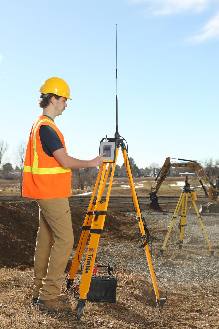
Trimble and Radiodetection announced a collaboration to improve the technology used in the utility measurement and mapping process. Through the integration of the Trimble Catalyst DA2 GNSS system and Radiodetection's RD Map+ application and precision locator products, the software and hardware integration streamlines utility-locating workflows to provide high-accuracy measurement capabilities for the creation of underground utilities maps in a single field operation....


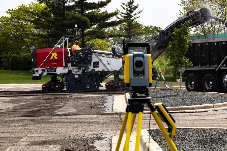
Rabine Paving Leads the Way With New 3D Roadworks for Mills, Cold Planers

When it comes to parking lot and utility restoration of large commercial and industrial sites, Schaumburg, Ill.-based Rabine Paving is an industry leader. Currently, Rabine operates three self-performing paving companies in the United States, one in the upper Midwest, one on the East Coast (Maryland), and one in Texas, with names like Walmart and FedEx on its customer list....


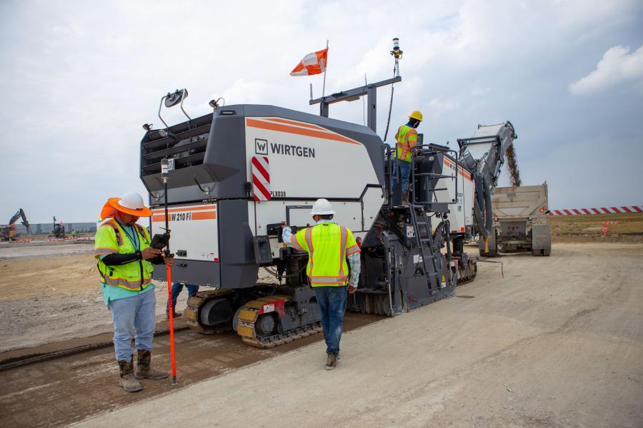
Trimble Introduces Roadworks Paving Control Platform for Mills, Cold Planers

Trimble announced the availability of the Trimble Roadworks Paving Control Platform for Mills and Cold Planers, extending the functionality of Trimble's next-generation, 3D paving control system. Trimble Roadworks for Mills and Cold Planers runs on an Android operating system and enables operators to precisely control cutting depth of the mill or cold planer, according to project design....


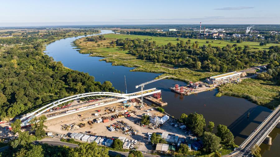
Symbolic Railway Bridge Replaced With World-First Network Arch Bridge

Built more than 100 years ago, and connecting Western and Eastern Europe, the Oder Bridge on the German-Polish border in Küstrin has since been seen as a symbol of Europe coming together. Over time, as bridges get used by heavy transport, they need replacing, and for such a historic railway bridge a special replacement was designed which was to be carried out with minimal disruption to the rail network....


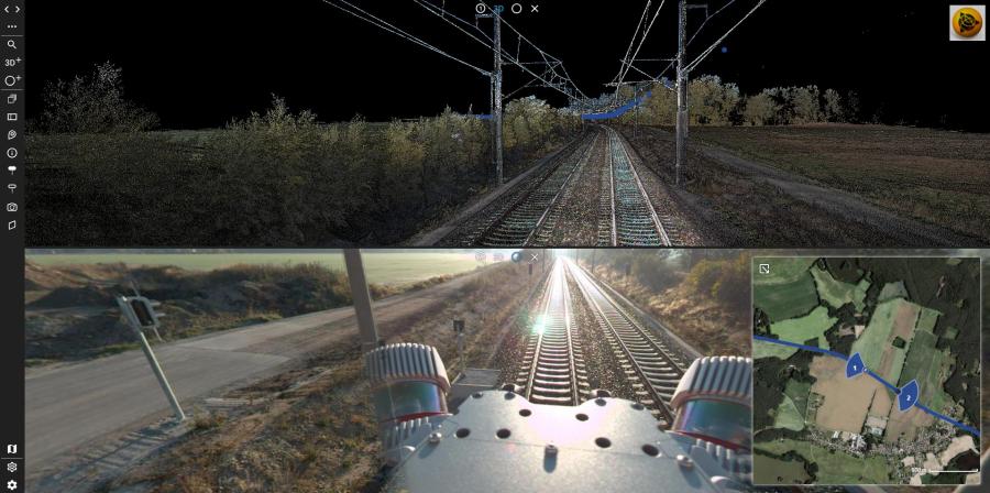
Trimble Introduces MX90 Mobile Mapping System

With Trimble GNSS and inertial technology, when combined with Trimble field and office software, the MX90 mobile mapping system provides a complete field-to-finish mobile mapping solution that enables powerful workflows for data capture, processing and analysis....


Trimble TDL450B Radio for Transmitting, Receiving, Repeating GNSS Corrections

The Trimble TDL450B Radio is a next generation 450 megahertz external radio with Bluetooth for transmitting, receiving and repeating GNSS corrections. It provides flexible configuration options and rugged reliability for the efficient use of GNSS on the construction site....


Trimble TDC6 Handheld Data Collector for Surveying

The Trimble TDC6 handheld data collector is a low cost, lightweight, handheld GNSS data collector for high performance construction surveying. The new, easy-to-use TDC6 allows contractors to work with more complex data sets more effectively in the field, connect to the office for on-the-spot approvals, and communicate changes to field crews quickly and easily....


Trimble Unveils SiteVision Software 5.0

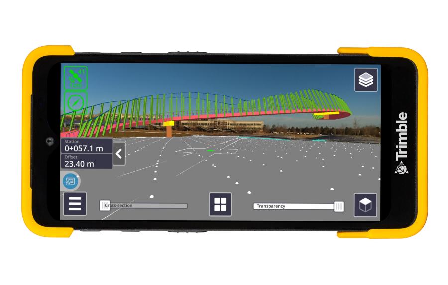
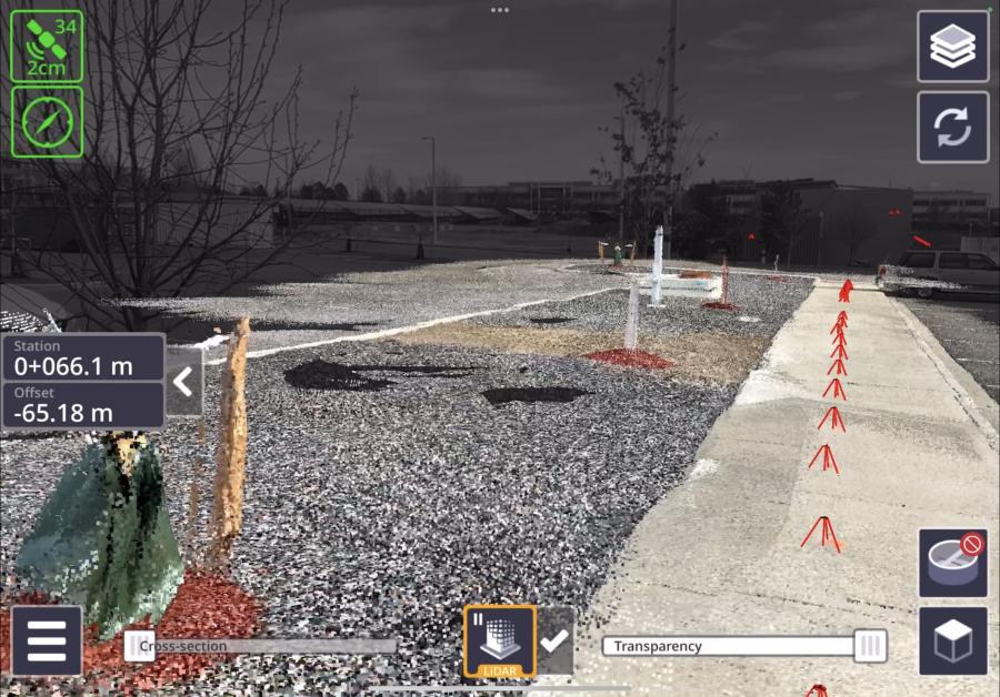
Trimble SiteVision Software 5.0 is the latest version of the company's high accuracy outdoor augmented reality system, now with a new 3D scan tool. The 3D scan app allows customers to use LiDAR sensors available on some Apple Pro devices to capture high-accuracy and instantaneously georeferenced point clouds with a workflow as easy as taking a picture....


Trimble to Provide Advanced Positioning Systems to Sabanto for Enhanced Autonomous Tractor Performance

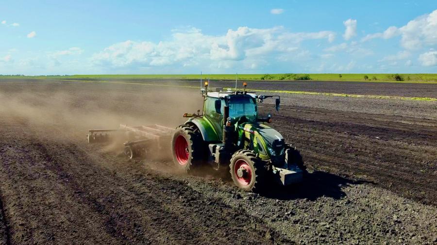
Trimble and Sabanto have announced the integration of Trimble BX992 dual antenna GNSS receivers with Trimble CenterPoint RTX into Sabanto's autonomy solutions. Trimble will act as Sabanto's key autonomous technology provider, delivering high-accuracy positioning to its fleet....


Trimble Introduces Connected Data Management License for Trimble Agriculture Display Users

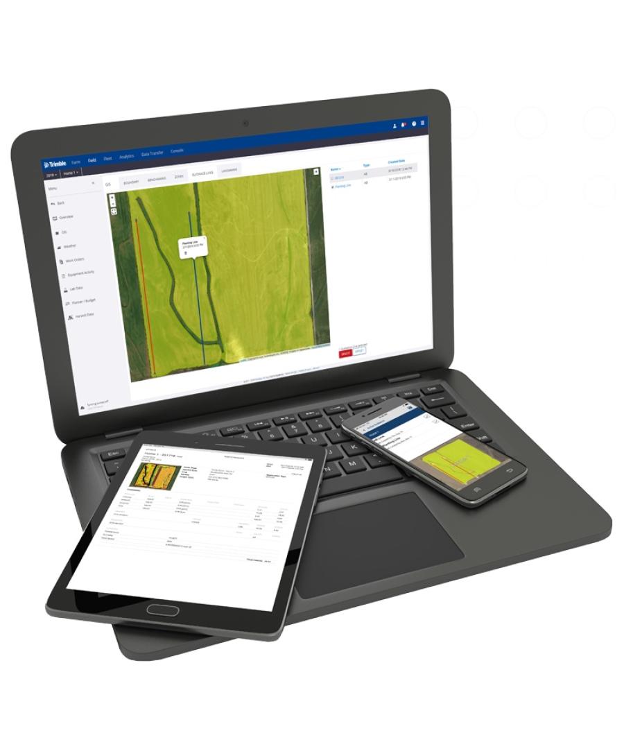
Trimble has announced the Trimble Ag Software–Data user license, offering seamless web and mobile connectivity for Trimble display users. This solution empowers farmers to efficiently manage their precision agricultural data....


aggregateequipmentguide-logo agriculturalequipmentguide-logo craneequipmentguide-logo forestryequipmentguide-logo truckandtrailerguide-logo
39.96250 \\ -83.00610 \\ Columbus \\ PA