List Your Equipment  /  Dealer Login

Go Unmanned Holds Its Third UAV Tech Event in Manquin, Virginia

Mon October 09, 2017 - Southeast Edition #21
Construction Equipment Guide


 Guests look over different UAV that will be flown during the event. Platforms on table include: Matrice 600 Pro, modified to hold a cargo hook; a Phantom 4 Pro, modified to carry a FLIR camera; a Matrice 100 aerial mapping platform; and a SmartPlanes fixed wing drone. The Matrice 210 features dual camera mount for simultaneous thermal and standard color imagery, upward-facing gimbal mount, weather resistant design, dual battery bays, support for an array of Zenmuse cameras (X4S, X5S, XT thermal imaging and Z30 optical zoom), making it ideal for commercial tasks such as bridge and tower inspections, land surveying and agriculture. The Matrice 210 can fly for up to 35 minutes and features an operation range of 4.4 miles. Matt Mulhern (L) of Go Unmanned goes over the autonomous flight capabilities of the Inspire 2 with Dennis Beard of Beard Contracting in Richmond, Va. Supporting a total 
takeoff weight of 34 
lbs., the Matrice 600 
Pro is a hexacopter designed for professional video and industrial imaging applications.  
It is well-suited for mapping quarries, large grading operations 
and others. Mark Adams (L) talks with Tim Farley of Tim Farley Grading about the additional capabilities of the Phantom 4 Pro when paired with mapping software like DroneDeploy. Mike Amann, Go Unmanned sales representative, and Maria Kolar, Go Unmanned marketing manager, pose with the modified Matrice 600 hexacopter.

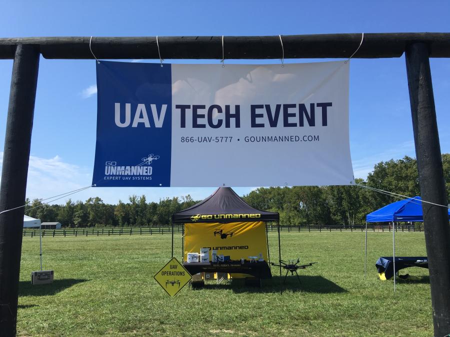
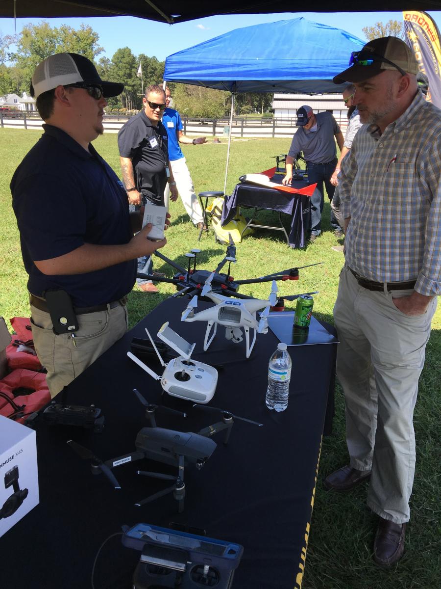
On Sept. 21, Go Unmanned held its third UAV tech event at the Alturia Farm in Manquin, Va. Event attendees ranged from sheriffs and fire chiefs to surveyors and general contractors. Topics of discussion included UAVs in construction, grading, farming, inspection, 3D mapping and more.

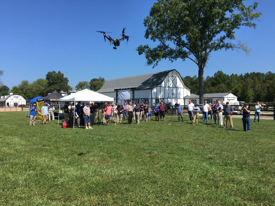
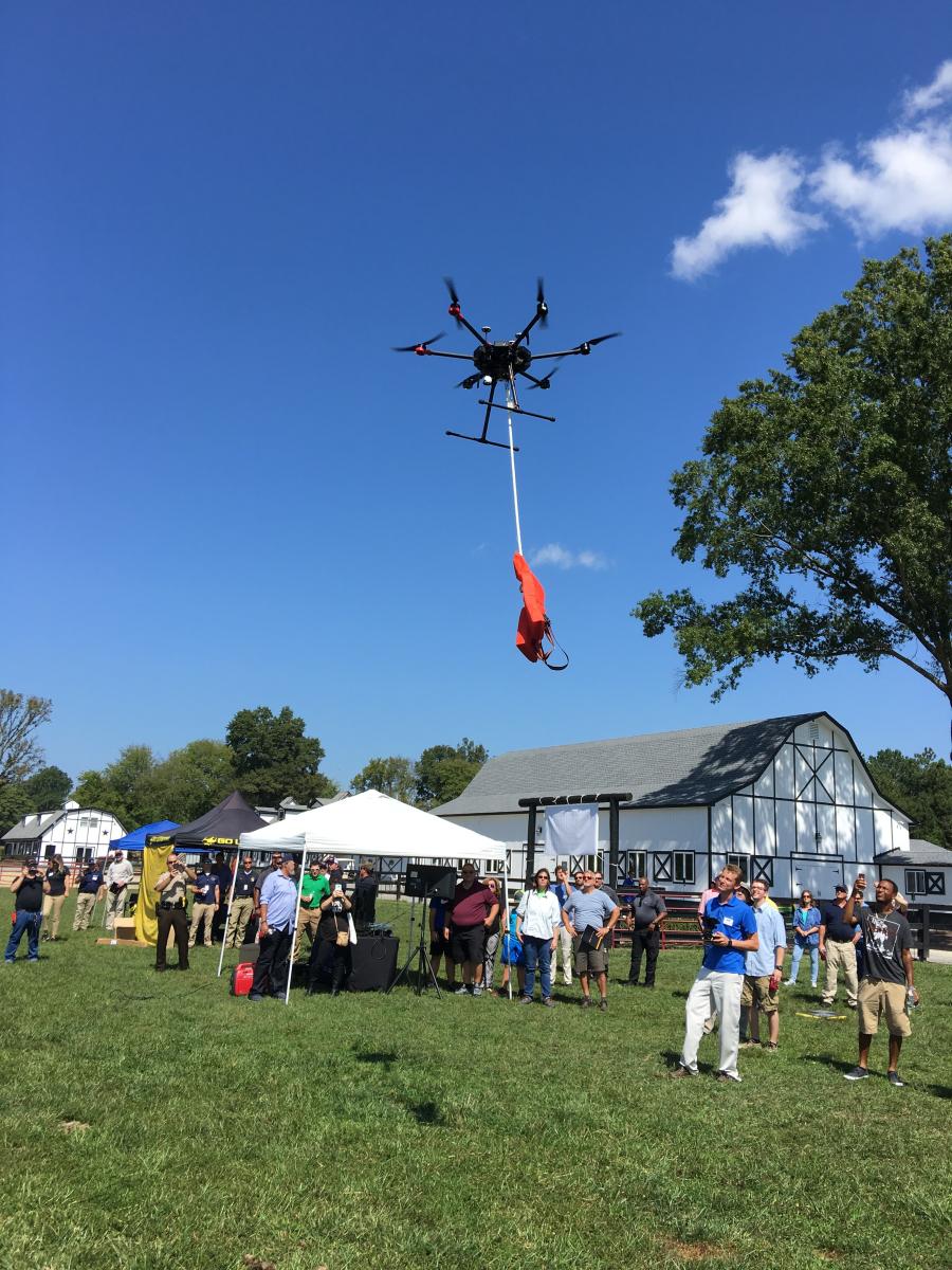
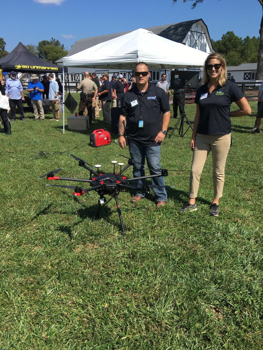
Several outdoor flying demonstrations were provided to reveal the enormous capabilities of UAVs. Among the most notable demonstrations was an autonomous flight conducted by Matt Mulhern to collect aerial data for a 3D model.

Mulhern utilized active aerial targets called Propeller AeroPoints that were placed around the farm to tie into his local grid coordinates. He then flew an autonomous mission over the farm using an Inspire 2 with a powerful 20-megapixel camera. Data captured from his mission was processed through Pix4D software to create a 3D-model contours and more. Data also was processed through propeller software to demonstrate how surveyors and contractors can visualize, collaborate and share data.

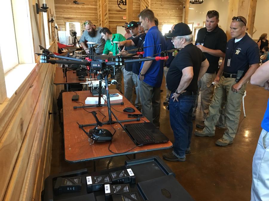
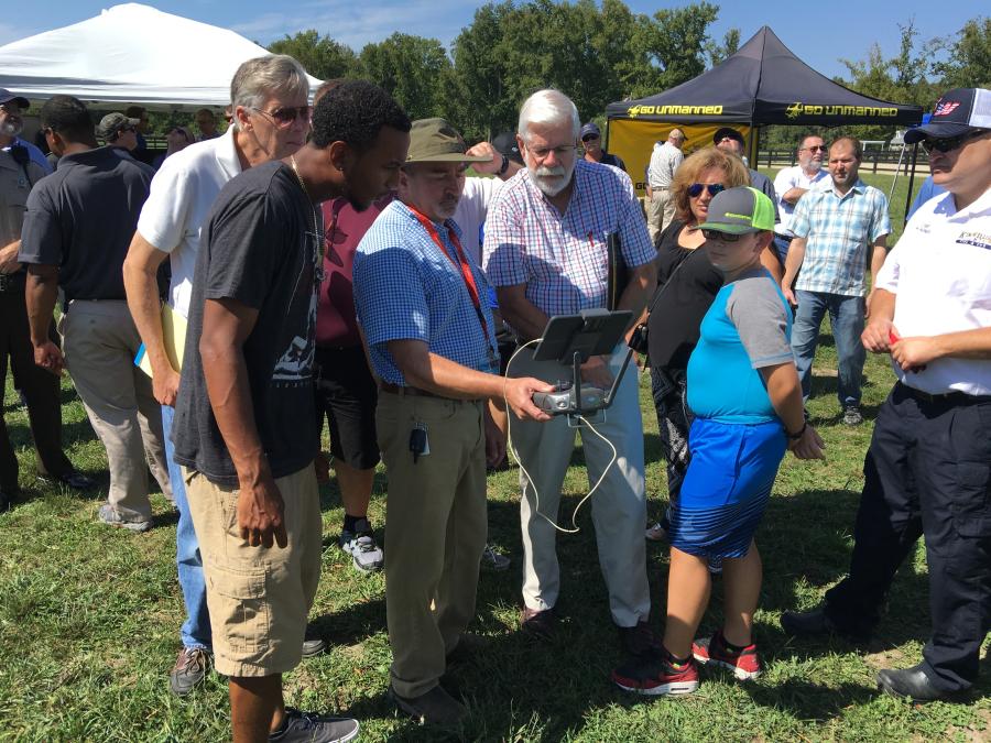
In addition to aerial mapping, attendees had the opportunity to experience live search and rescue simulations and hands-on practice flying a drone. The UAV Tech Event is part of Go Unmanned's ongoing objective to inform the public of the positive applications of UAV technology for commercial purposes such as construction, engineering, inspection, farming and search and rescue.

About Go Unmanned

Go Unmanned is a division of Benchmark Tool & Supply Inc. that offers commercial-grade, fixed-wing and multi-rotor drones and unmanned aerial vehicles for the construction, surveying, engineering, agriculture, inspection and emergency services fields. The company specializes in the integration of UAVs with machine-control systems, GPS/GIS and building information modeling (BIM) applications to track progress and help streamline the production process on its clients' job sites for a competitive edge, according to the company.

CEG


Today's top stories

Fay Preps Way for Pittsburgh International Airport Modernization Project

Volvo CE Continues to Perform, Transform During Slower Q1 2024

American Bridge Co. Leads Conn.'s East Haddam Swing Bridge Project

Growing Interest in Construction Careers Among Younger People Means Jobs Filled, Deadlines Met

Pettibone Celebrates 75th Anniversary of Cary-Lift

Common Ground Alliance Hosts Conference & Expo in Colorado On Preventing Utility Damages

Powerco Hosts Mecalac Road Show Event in Clinton, N.J.

Site Prep Inc. of NC Adds Milling Services to Its Existing Highway Infrastructure Capabilities


aggregateequipmentguide-logo agriculturalequipmentguide-logo craneequipmentguide-logo forestryequipmentguide-logo truckandtrailerguide-logo
39.96250 \\ -83.00610 \\ Columbus \\ PA